Never Miss a Beat: Get a snapshot of the issues affecting the IT industry straight to your inbox.
Mobile Geospatial Tool To Aid Military, First Responders
TouchShare's collaborative geospatial software provides real-time situation awareness tools on mobile devices.
3 Min Read

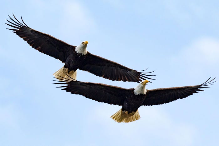
5 Army Tech Innovations To Watch
5 Army Tech Innovations To Watch (click image for larger view)
Military, law enforcement and first responder workers' ability to assess their situation has improved dramatically in recent years with advances in sharing geospatial information in near real time. That capability is getting a boost with the release of a new TouchShare geospatial collaboration product for mobile devices. The product allows multiple users in different locations to see and contribute to a common geospatial picture.
The software can accept geospatial data from just about any source, from photos to satellite images to maps. "We envision mobile access for the intelligence community, the military and first responders," said company CEO Bob Pette. The military, for instance, "may want an overview of the battlefield, but then want particular information. Police [may want] the floor plan of a house. First responders might need the closest gas station," he said.
There are tradeoffs that must be made for the mobile environment in handling geospatially encoded information. "We maximize the screen space, which involves sending only the right information, the right amount of data," Pette said. "And with mobile you might be on a bad connection, so you have to be careful how much bandwidth you consume."
[ For more government security news, see Iris Scans: Security Technology In Action. ]
Pette said geospatial solutions "have been pricey in the past." To get past that obstacle, TouchShare software is taking a hardware-agnostic approach. "Anytime you have a bundled solution, people have the ability to hide costs," he said. "Unbundling allows the true price; that brings the cost way down, to a few thousand dollars per client ... The money will be less, but we believe the need is as important."
TouchShare handles the collaboration aspect differently than WebEx or GoToMeeting, he said. Whenever a user moves a mouse with those products, the screen is refreshed 60 times a second to show the motion of the pointer. Pette said TouchShare's software, rather than sending multiple images, simply tells the mobile devices where to put the pointer to limit the bandwidth requirements.
In a related development, the company also will be releasing a 3-D collaborative platform in January 2014, Pette said. The Los Angeles Police Department has been testing the 3-D table during its development, including during the manhunt in February 2013 for serial killer Christopher Dorner, said LAPD officer Chris Bouse.
"Right now, the way things happen, the military, police, fire, they all respond kind of the same way," Bouse said. "With the mobile shared connectivity, you can have a supervisor standing there and altering the map as things change in real time. The supervisor can say, 'this is the route our people need to take' or 'here's where we need to stage.'"
If a major event were to strike California, such as an earthquake, the table could take and share input with multiple agencies, such as airports, maritime ports or those in neighboring jurisdictions, Bouse said.
"As a department we're looking outside the box in using this, not just for disasters and events," he said, such as using the table to display crime trends and identify emerging patterns.
"Where we aspire to be is to have the same capability on any device on the planet, to get to any piece of information and envision it on any device," Pette said. "As bandwidths improve, we might project it on a wall or holographically with a phone."
About the Author(s)
You May Also Like
More Insights
Webinars